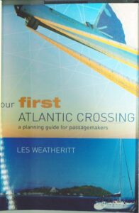
Our first atlantic crossing – a planning guide for passagemakers
Third Edition // First Edition 2000 // Third Edition 2008 // ISBN 978-0-7136-8949-5 // Adlard Coles Nautical // London
290,6 MB
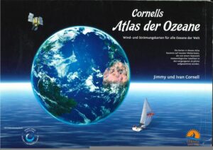
Cornells Atlas der Ozeane – Wind & Strömungskarten für alle Ozeane der Welt
Jimmy und Ivan Cornell //31 Seiten // 2. Auflage // 2018 // ISBN: 1999722922 // ISBN-13 : 978-1999722920 // Cornell Sailing Ltd
104,7 MB

German Version: Segelrouten der Weltmeere
550 Seiten // ISBN 3-613-50243-7 // Copyright by Jimmy Cornell 1995 // 3. völlig überarbeitete und erweiterte Neuauflage 1996 // by Pietsch Verlag GmbH + Co.
388,6 MB
English Version: World Cruising Routes
Second Edition // Adlard Coles Nautical // London // 420 Pages // First edition published by Aslard Coles 1978 // Second edition published by Adlard Coles Nautical 1995 // ISBN 0-7136-4070-7
36,7 MB
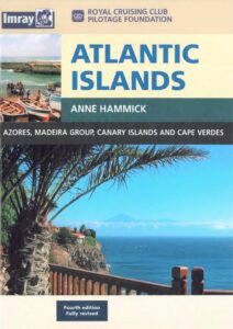
Atlantic Islands – Azores, Madeira Group, Canary Islands& Cape Verdes
Royal Cruising Club Pilotage Foundation // Atlantic Islands // Anne Hammick // Fourth Edition // 340 Pages // ISBN 0 85288 761 2 // 2004
16,2 MB
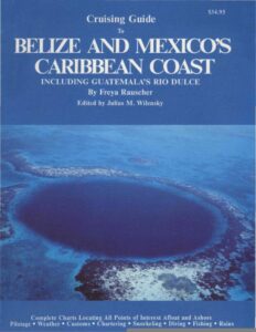
Belize and Mexico´s Caribbean Coast
Including Guatemala´s Rio Dulce // By Freay Rauscher // Edited by Julius M. Wilensky // 1991 // ISBN 0-918752-11-6 // 291 Pages
40,1 MB
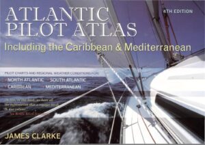
Atlantic Pilot Atlas – including the Caribbean & mediterranean
ADLARD COLES NAUTICAL // 4th Edition London // James Clarke // Fourth Edition published 2006 // ISBN 10: 0-7136-7567-5 // ISBN 13: 978-0-7136-7567-2
18,5 MB
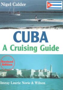
Nigel Calder // Miray Laurie Norie & Wilson Ltd // 284 Pages // 1st edition 1997 // Revisited edition 1999 // ISBN 0-85288-413-3
10,3 MB
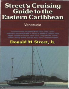
Street´s Cruising Guide to the Eastern Caribbean Venezuela
Donald M. Street, Jr. // Sketch Charts by Imray, Laurie, Norie & Wilson // 190 Pages // 1991 First Edition // ISBN 0-393-03315-7
13,6 MB
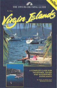
The 1995-96 Cruising Guide to the Virgin Islands
A complete guide for Yachtsman, Divers and Watersports enthusiasts // By Nancy & Simon Scott // Seventh Edition // Cruising Guide Publications, Inc. // 272 Pages // ISBN 0-944428-27-4
38,8 MB
